

Scan the QR code to get this post on the go.
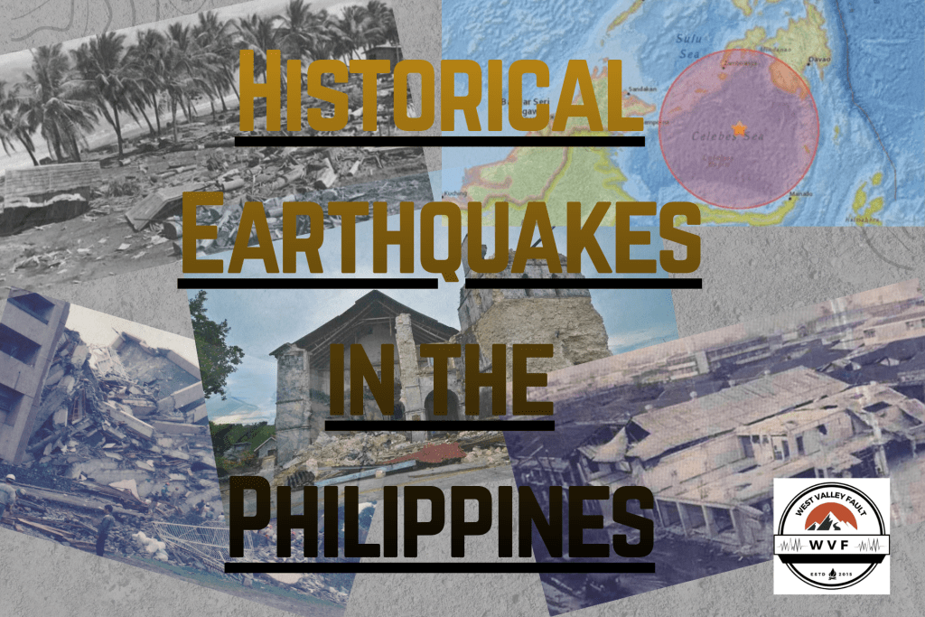
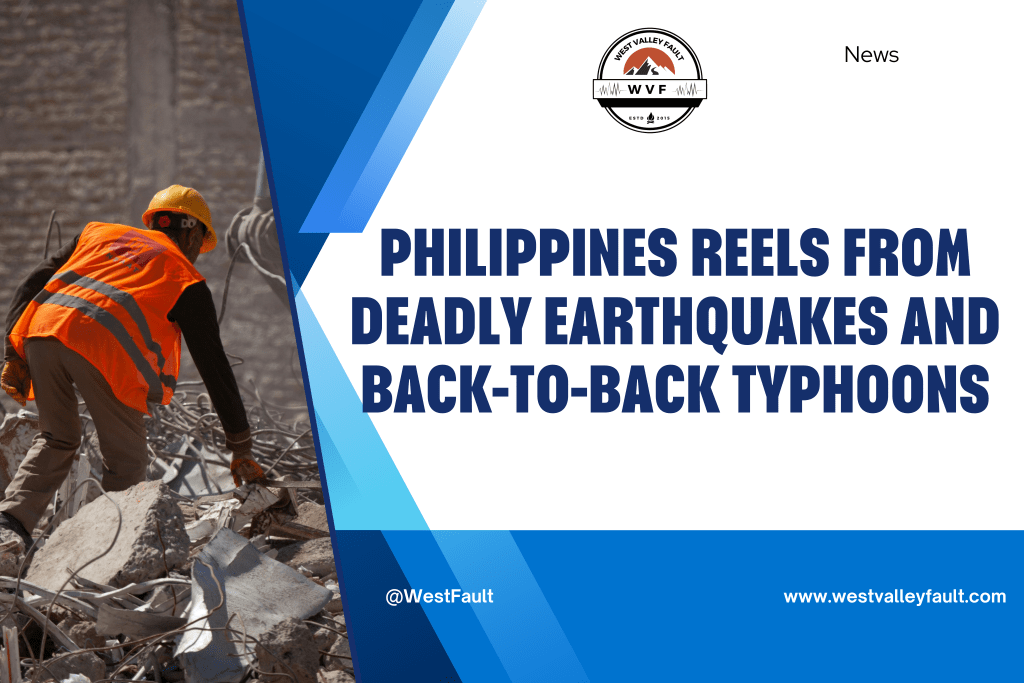
A powerful 6.9-magnitude earthquake that struck Cebu on September 30 has reignited concerns about the Philippines’ readiness for future major quakes. The tremor, which rattled long-dormant fault lines and triggered nearly 10,000 aftershocks, underscores the country’s exposure to seismic risks as it sits squarely on the Pacific Ring of Fire.
Thousands of Aftershocks Reveal the Country’s Vulnerability
According to DOST-Phivolcs Director Teresito Bacolcol, more than 9,887 aftershocks have been recorded as of early October. “In the first 24 hours, we recorded about 2,000 aftershocks. By the 10th day, that dropped to around 200 to 300. After 100 days, only 20 to 30 remain—and most of those are only detected by instruments,” Bacolcol said in an interview on BNC’s “At the Forefront.”
Despite the continued seismic activity, Cebu remains open to tourists, though authorities urge residents and visitors alike to avoid reoccupying damaged buildings until they are cleared by structural engineers.
Fault Lines on the Move: Cebu’s Ground Literally Rose
The quake also exposed significant geological changes. Phivolcs confirmed a 70-meter coastal uplift along the Bogo Bay Fault, where the land permanently rose, effectively expanding the coastline. Bacolcol noted that similar phenomena occurred during the 2013 Bohol earthquake and warned that Cebu’s limestone-rich terrain makes it particularly susceptible to sinkholes during strong ground shaking.
Mapping the Dangers Before They Strike
Phivolcs, in coordination with the Mines and Geosciences Bureau, continues to provide hazard maps and active fault data to local governments. These resources are critical for relocation planning and the identification of high-risk zones. Residents can also access these insights through Hazard Hunter PH and GeoRisk PH, online tools that show earthquake, volcano, and hydrometeorological risks for any location in the country.

“The Big One” and Other Looming Threats
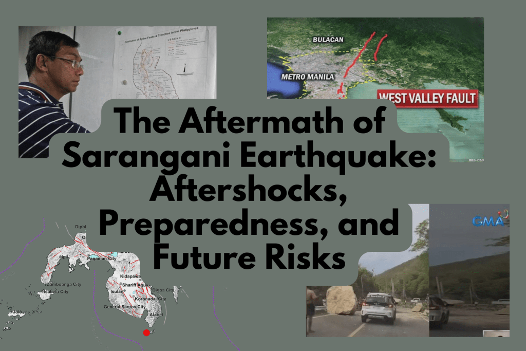
While attention often centers on the West Valley Fault, which runs through Metro Manila and could unleash a magnitude 7.2 earthquake, Bacolcol emphasized that other regions are equally at risk.
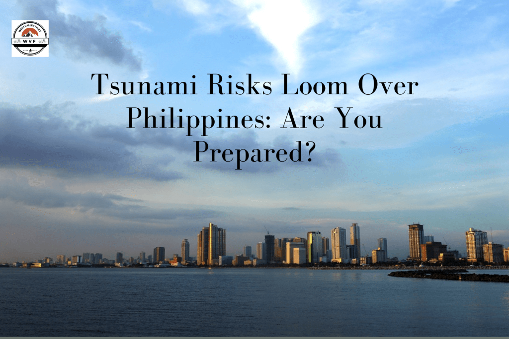
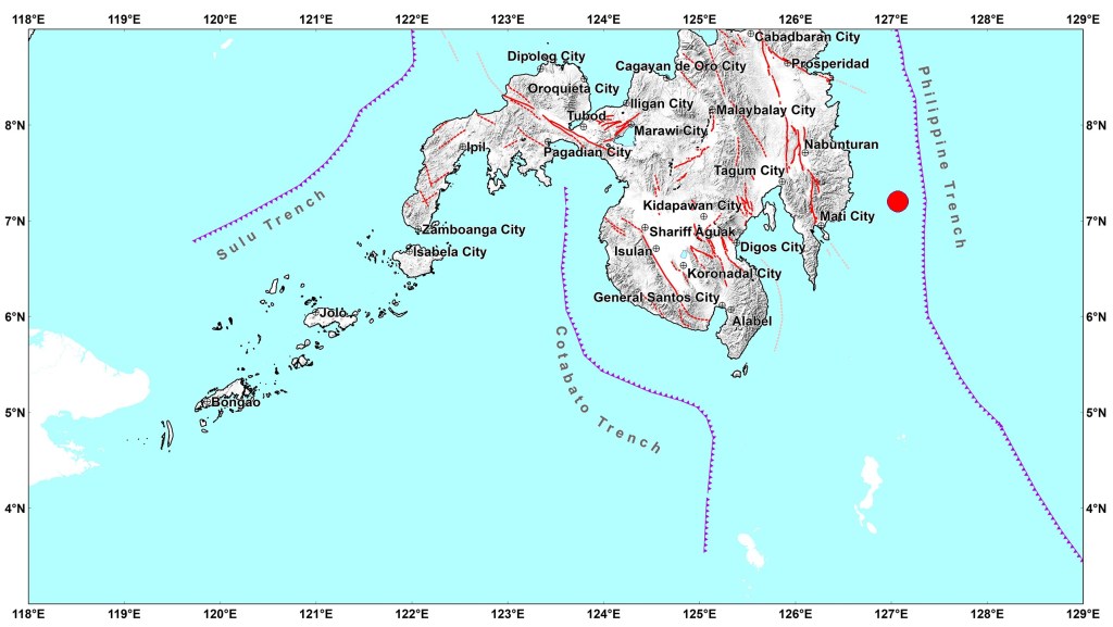
“The Gabaldon Fault in Nueva Ecija could generate a 7.9 magnitude event, and parts of the Philippine Trench may trigger an 8.3 magnitude quake capable of producing tsunamis,” he warned.
He added that distance from a fault line does not guarantee safety. Poorly built houses even hundreds of meters away could collapse under intensity 8 shaking. Some cities like Pasig and Quezon City have already placed visible fault markers to raise public awareness.
No One Can Predict Earthquakes — But Everyone Can Prepare
Bacolcol clarified that, despite advanced monitoring systems, earthquakes remain unpredictable. Radiometric dating using Carbon-14 can estimate how often a fault ruptures, but it cannot determine when the next quake will happen. What experts can do is accurately locate epicenters and issue warnings for tsunami-generating offshore quakes.
Strong Buildings Save Lives
Experts stress that the most effective defense against deadly earthquakes lies in strict adherence to the National Building Code.
“Drills are important, but if a structure is not built properly, drills alone won’t save lives,” Bacolcol said. “No cutting corners when it comes to construction.”
A Constant Reminder for a Nation on the Ring of Fire
The Philippines’ position along the Pacific Ring of Fire and within the typhoon belt makes it prone to natural disasters—from earthquakes to volcanic eruptions and super typhoons. For Bacolcol, there’s only one sustainable response:
“The best course of action is always preparedness.”
Source: bnc.ph


Leave a comment