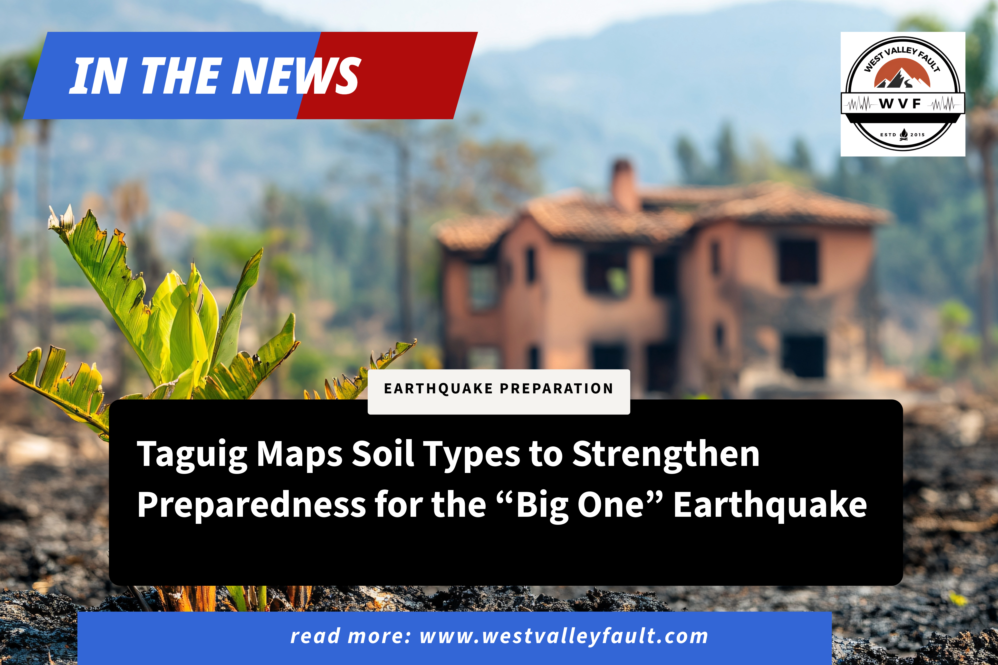
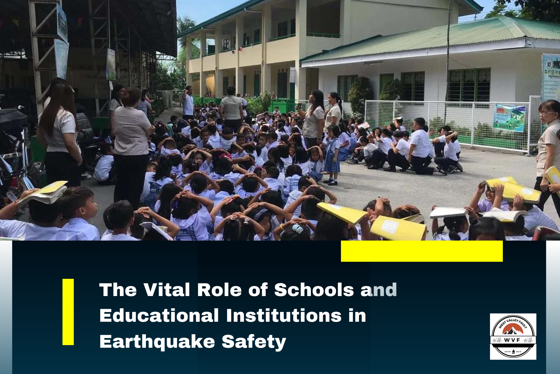
As part of its intensified disaster readiness campaign, the Taguig City government has begun sharing critical information about soil conditions across its barangays—an important factor in earthquake safety. Mayor Lani Cayetano highlighted that understanding the type of ground beneath homes and buildings can significantly reduce risks, especially as the city prepares for the long-anticipated “Big One” earthquake.

Scan the QR code to get this post on the go.
The “Big One” refers to “an earthquake with a magnitude of no less than 7.2 in the Richter scale may be experienced in our lifetime, according to a 2016 announcement by the Department of Science and Technology-Philippine Institute of Volcanology and Seismology (DOST-PHIVOLCS).” Experts warn that the impact of such a quake will not be uniform, as “there are specific locations that are considered most vulnerable to said earthquake because of their proximity [to] the so-called West Valley Fault.”
According to scientific explanations, “The West Valley Fault system is an imaginary line marking the area where the different fault systems are located underground and are actively moving from where a big earthquake may originate,” which “runs through different cities and towns of Bulacan, Rizal, Metro Manila, Cavite, and Laguna.” Taguig is one of the cities intersected by this fault line, making local preparedness efforts especially urgent.

Mayor Cayetano underscored this reality in a recent social media post, stating, “We know that Taguig is among the areas traversed by the West Valley Fault, so our efforts to keep everyone prepared and safe in the event of an earthquake or other disaster continue.” By identifying soil types in each barangay, the city aims to help residents, builders, and planners better understand how ground conditions can affect structures during strong seismic activity.
She further emphasized the value of awareness, adding, “It is important that we know the type of soil on which our homes are built. Even a small amount of knowledge can go a long way in preventing any damage. This is part of our ongoing information drive to prepare for ‘The Big One.’ Stay tuned for the next reminders and updates on the city’s disaster preparedness.”
Here are the types of soil in Taguig barangays, according to Cayetano:
Broad Alluvial
Formed from mud and sand carried by rivers and floods. Usually low and prone to flooding.
·Ligid, Tipas ·
·Ibayon, Tipas ·
·Palingon, Tipas ·
·Calzada, Tipas ·
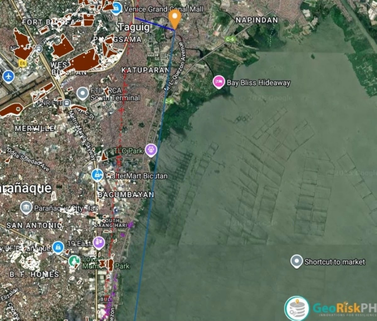
·Napindan ·
·Sta. Ana
·Tuktukan
·Wawa
·San Miguel
·Ususan (some parts)
·Hagonoy (some parts)

Minor Alluvial ·
A narrower flat area also formed due to river overflow or flood.
· Bambang
· Hagonoy (most parts)
· New Lower Bicutan
· Lower Bicutan .
· Upper Bicutan
· Maharlika .
· Central Bicutan
· South Signal
· Central Signal
· North Signal
· Western Bicutan
. Pinagsama
· Post Proper Northside
· Post Proper Southside
· Katuparan
· Fort Bonifacio
· Pitogo
· South Cembo
· Cembo
· West Rembo
· East Rembo
· Comembo
· Pembo
. Rizal
· North Daang Hari
· Bagumbayan (most part)
Undulating Low Grade
Not completely flat; has slight undulations or hills but is still low-lying
· Bagumabayan (some parts)
· Tanyag
· South Daang Hari ·
Through this initiative, Taguig reinforces the message that earthquake preparedness is a shared responsibility—one that starts with informed communities and proactive local leadership.
Source: ManilaBulletin


Leave a Reply