
Scan the QR code to get this post on the go.
Introduction
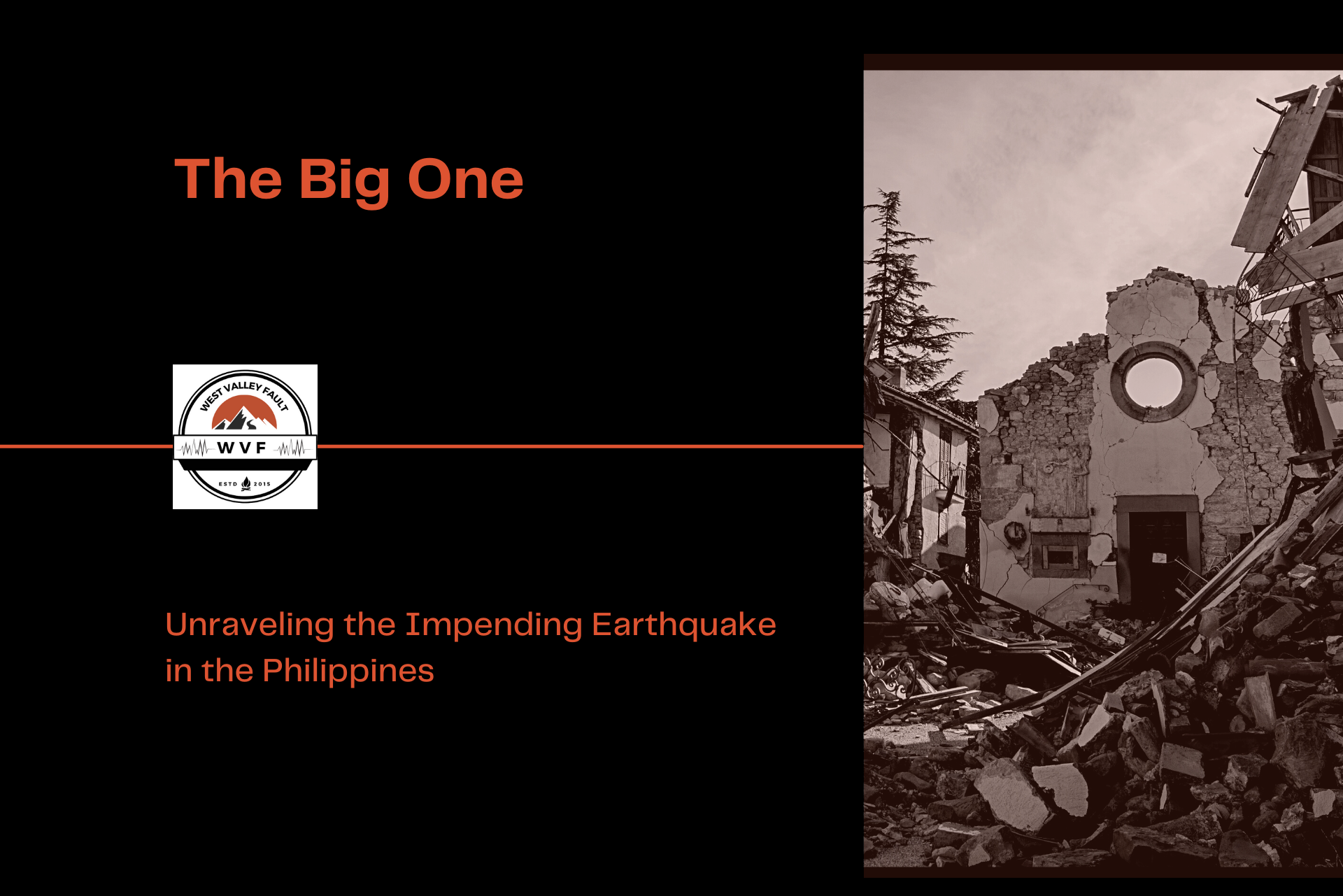
The ground beneath Metro Manila may appear calm today, but deep below lies a sleeping giant capable of changing millions of lives in a matter of seconds.
For decades, scientists have warned about the possibility of a massive earthquake generated by the West Valley Fault — a powerful seismic event widely known as “The Big One.” Stretching across some of the country’s most densely populated cities, this active fault line represents one of the greatest natural threats facing the Philippines. While no one knows exactly when the next major earthquake will strike, experts agree that the danger is real and preparation cannot wait.
From the science behind the fault system to historical earthquakes, expert warnings, affected cities, and survival strategies, this article explores the realities surrounding The Big One and why understanding this looming threat may be one of the most important things every Filipino can do.
What is “The Big One” in the Philippines?
The Philippines, an archipelagic nation located in the Pacific Ring of Fire, is no stranger to seismic activity. The archipelago is situated along the convergence of several tectonic plates, making it susceptible to earthquakes and volcanic eruptions. The Big One Philippines refers to the long-anticipated magnitude-7+ earthquake expected to occur along the West Valley Fault that runs through Metro Manila. This moniker represents a massive earthquake that could potentially strike the Philippines with devastating consequences.
The Science Behind The Big One
The Philippines is located at the junction of the Pacific Plate, the Philippine Sea Plate, and the Eurasian Plate. The complex interactions between these tectonic plates result in the formation of various fault lines throughout the country. The movement of these plates is not uniform, and stress can build up along fault lines over time. When the accumulated stress exceeds the strength of the rocks, it can cause a sudden release of energy in the form of an earthquake. The event is known as a “megathrust earthquake.”

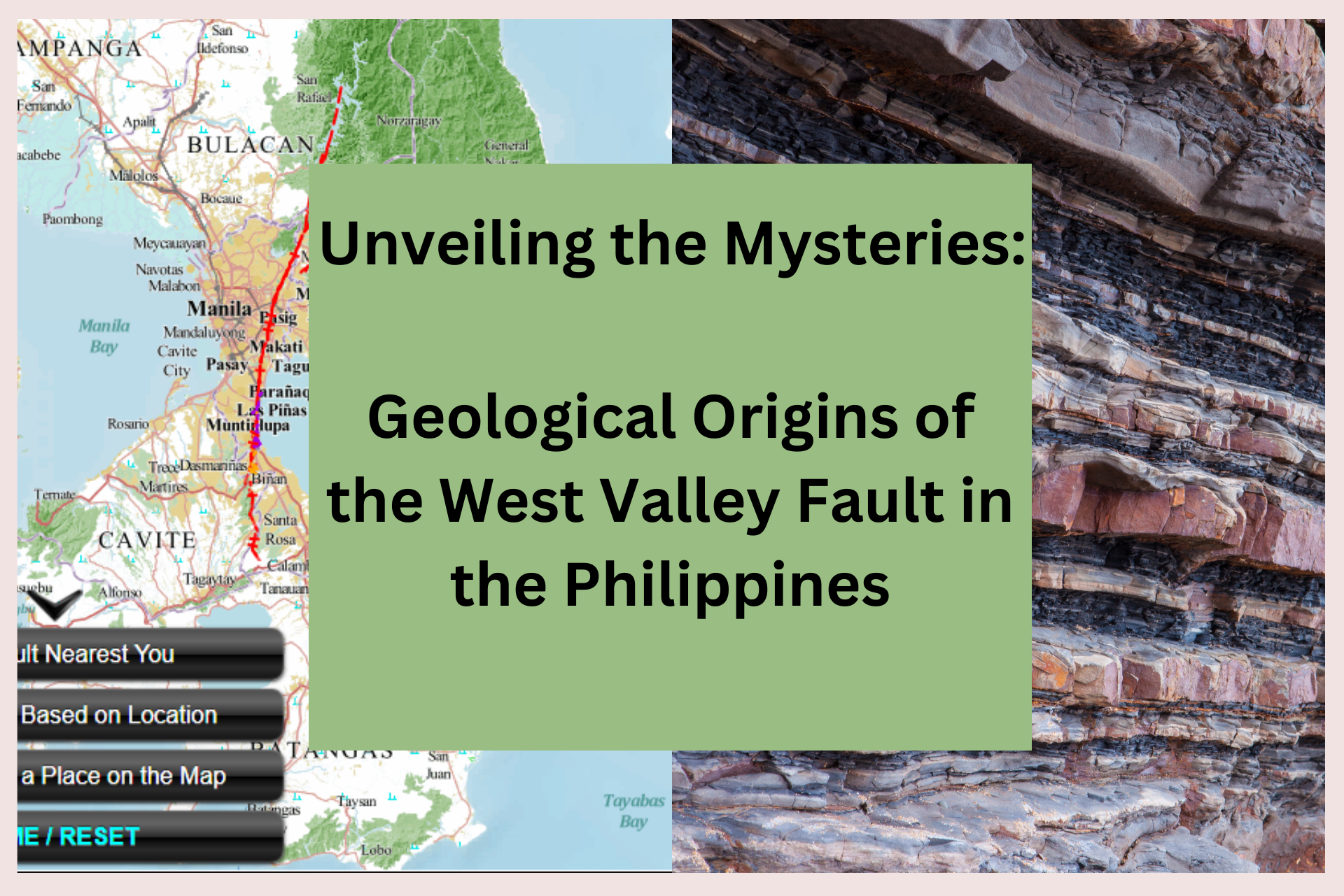
The Philippines, known for its stunning landscapes and vibrant culture, also harbors hidden geological wonders that shape the very ground we walk on. One such marvel is the West Valley Fault, a tectonic boundary with a rich history that intertwines with the country’s geological narrative.
Faults at Play
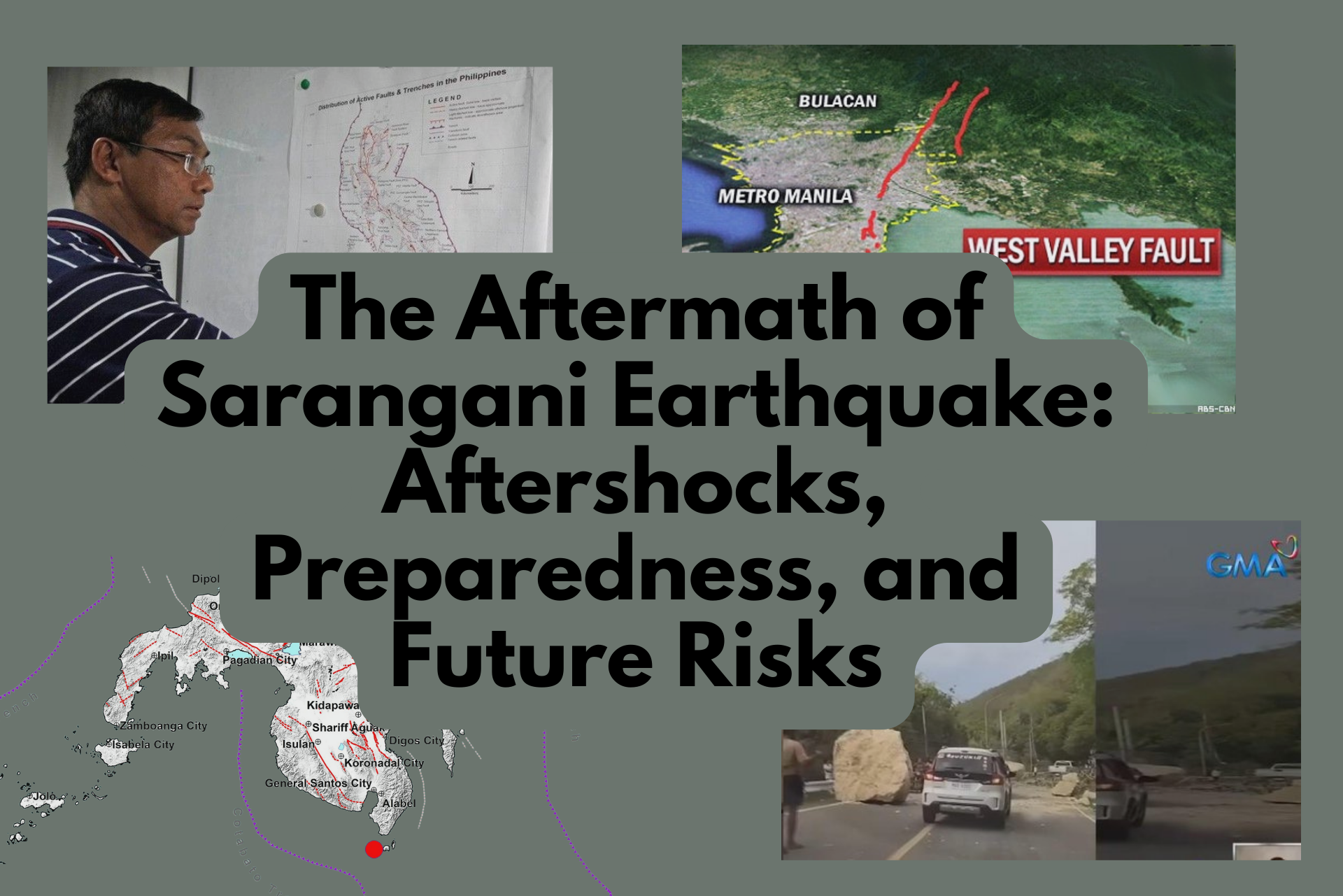
One of the key fault systems that contributes to The Big One scenario is the West Valley Fault. This fault spans approximately 100 kilometers through six cities in the Greater Metro Manila area. The West Valley Fault has a history of generating major earthquakes, with a recurrence interval estimated at around 400 years. The last significant earthquake along this fault occurred in the 1600s, prompting concerns that the region is overdue for another major seismic event.

Affected Regions and Potential Impact
The West Valley Fault cuts a dangerous path through some of the most densely populated areas in Metro Manila and nearby provinces. Stretching approximately 100 kilometers from Bulacan down to Laguna, this active fault line traverses several highly urbanized cities where millions of residents live, work, and study every day. According to seismic experts, a movement along this fault could trigger intense ground shaking capable of causing widespread devastation across these communities.
Among the cities directly affected are Quezon City, Marikina, Pasig, Makati, Taguig, and Muntinlupa. Portions of nearby provinces such as Bulacan, Rizal, Cavite, and Laguna are also situated dangerously close to the fault system. The risk becomes even more alarming when considering the concentration of residential subdivisions, high-rise buildings, transport infrastructure, schools, hospitals, and business districts located within or near the fault’s buffer zones.

Quezon City, the largest city in Metro Manila by population and land area, contains several barangays identified as vulnerable to strong shaking due to their proximity to the fault trace. Marikina City, meanwhile, sits almost directly atop portions of the West Valley Fault, making it one of the areas expected to experience severe ground rupture should “The Big One” occur. Pasig and Makati, known for their dense commercial developments and towering office buildings, could face significant infrastructure disruption and economic losses during a major seismic event.
Further south, Taguig and Muntinlupa continue to experience rapid urban expansion, with many residential and commercial projects emerging near hazard-prone zones. Experts have repeatedly emphasized the importance of strict compliance with earthquake-resistant building standards in these cities to minimize casualties and structural collapse.

Beyond Metro Manila, neighboring provinces connected to the Greater Capital Region would not be spared from the effects of a massive earthquake. Strong shaking, liquefaction, landslides, and secondary hazards could ripple outward, affecting transportation networks, utilities, and emergency response operations across Luzon.
The presence of the West Valley Fault beneath these thriving urban centers serves as a stark reminder that preparedness is not optional. Knowing whether a home, workplace, or school lies near the fault line can make a critical difference in survival and recovery when the ground eventually begins to move.
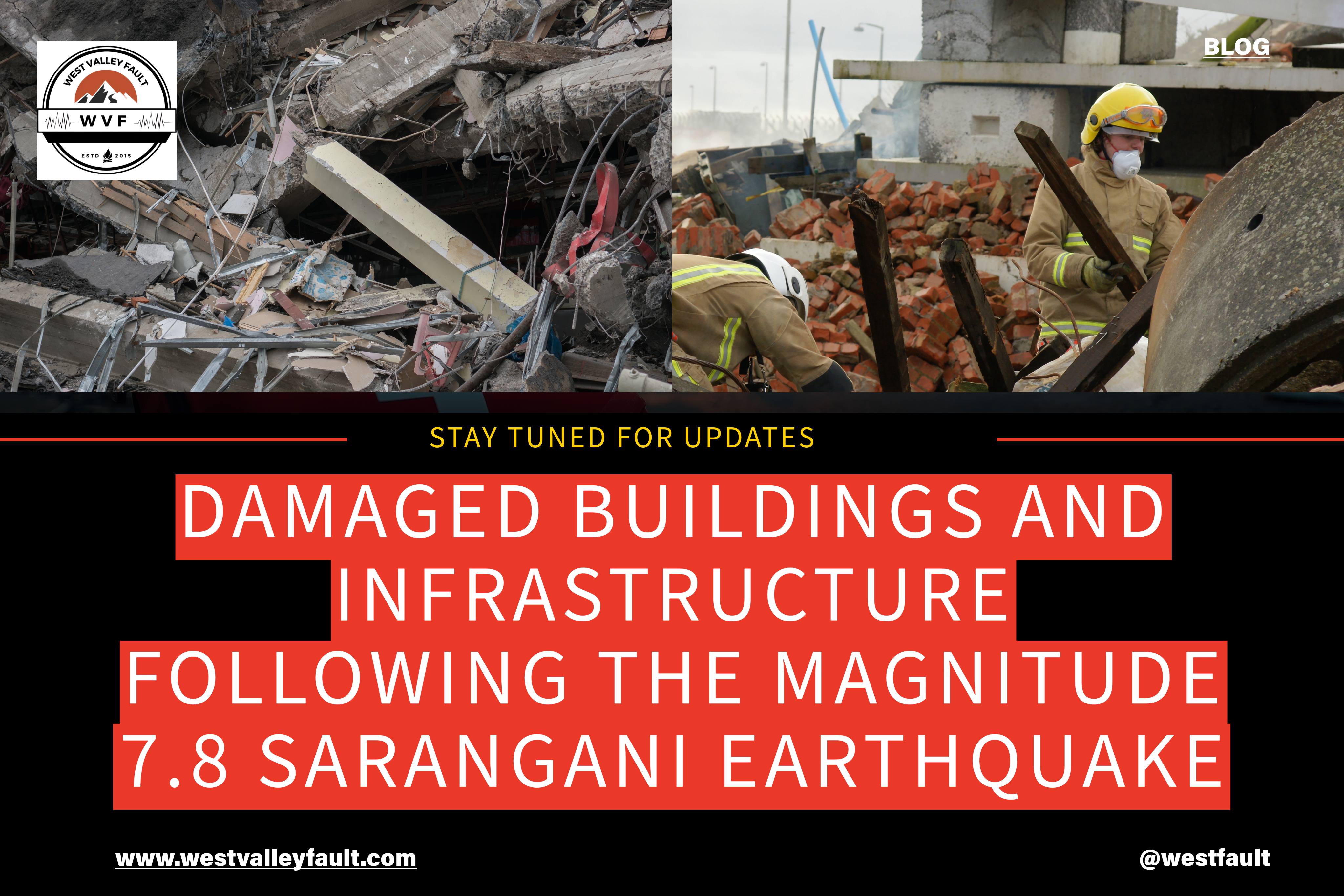
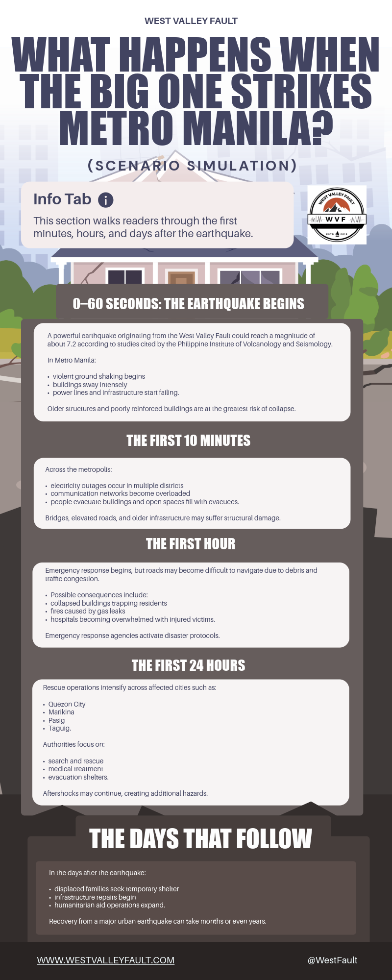
Seismic experts and geologists have warned that The Big One could potentially be a magnitude 7.2 earthquake or even stronger.
Expected Damages
The impact of The Big One is not limited to Metro Manila. The surrounding regions, including parts of Central Luzon and Southern Tagalog, would also experience significant shaking. Additionally, the ripple effects of the earthquake could trigger tsunamis, landslides, and other secondary hazards that would exacerbate the devastation.
The damages caused by The Big One could include:
Structural Collapse: Unreinforced or poorly constructed buildings would be especially susceptible to collapsing, leading to potential loss of life and massive damage to property.
Infrastructure Disruption: Roads, bridges, and other critical infrastructure could be severely damaged, hindering emergency response efforts and recovery.
Economic Impact: The destruction of property and disruption of businesses could have long-lasting economic consequences for the affected regions.
Displacement of People: The earthquake could render many people homeless and lead to significant displacement, straining available resources and emergency shelters.

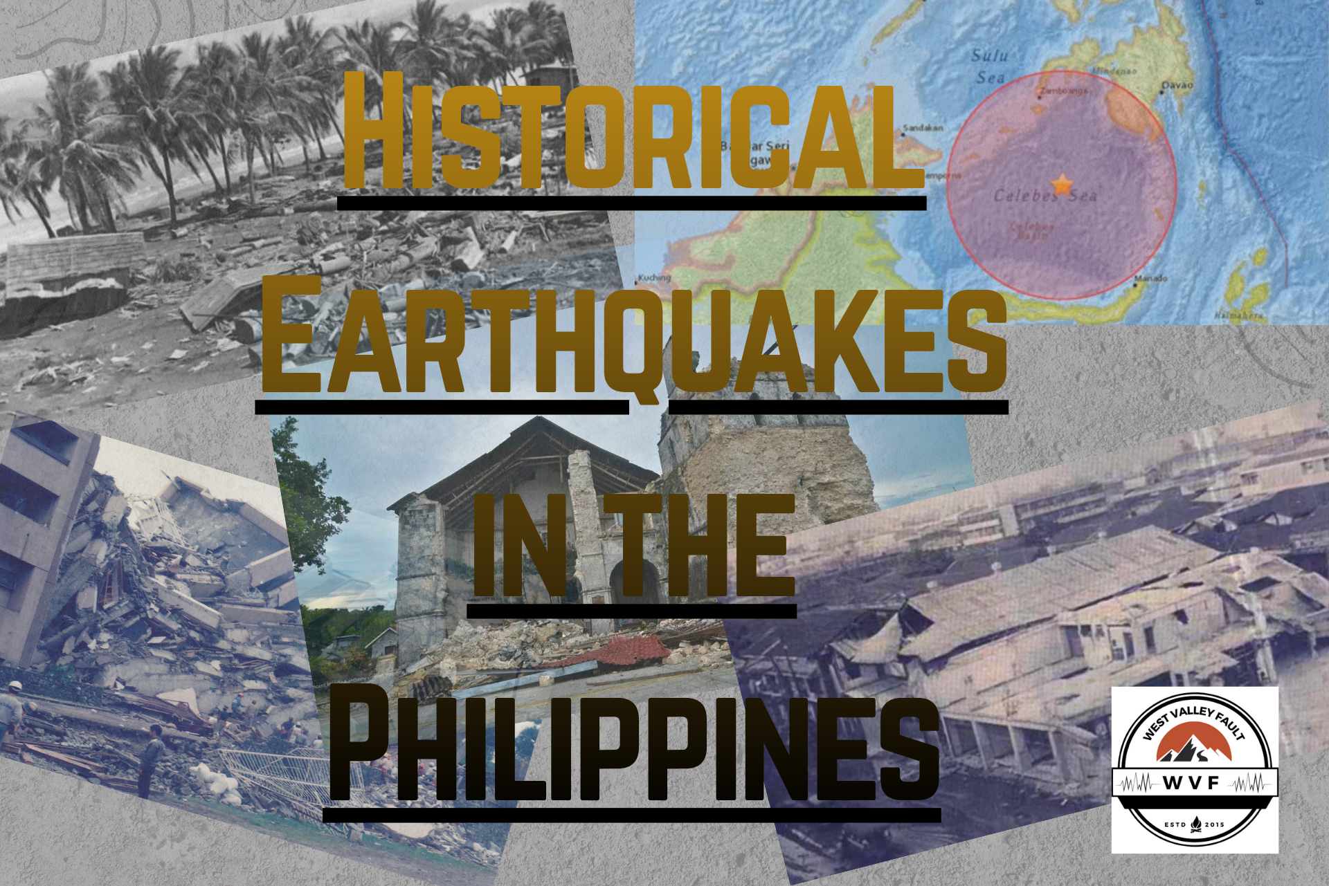
Discover the most powerful earthquakes in Philippine history — from Bohol to Luzon — and how each reshaped lives, landmarks, and awareness.
History of Major Earthquakes in the Philippines
The Philippines has endured some of the most destructive earthquakes in Southeast Asia, a harsh consequence of its location along the Pacific Ring of Fire. Throughout history, powerful tremors have repeatedly devastated cities, triggered landslides, and claimed thousands of lives, serving as painful reminders that seismic disasters are an ever-present threat in the country.
One of the deadliest earthquakes ever recorded in the Philippines occurred on August 2, 1968, when a magnitude 7.3 earthquake struck near Casiguran, Aurora. Although the epicenter was hundreds of kilometers away from Metro Manila, the shaking caused the collapse of the Ruby Tower in Manila, killing hundreds of people trapped inside the building. The tragedy exposed the vulnerability of poorly designed structures and became a defining moment in the country’s awareness of earthquake safety.
More than two decades later, the devastating 1990 Luzon Earthquake shook the nation once again. Registering at magnitude 7.7, the earthquake struck Northern and Central Luzon on July 16, 1990, causing widespread destruction across Baguio City, Dagupan, Cabanatuan, and surrounding provinces. Roads cracked apart, bridges collapsed, hotels crumbled, and entire communities were left isolated due to landslides and damaged infrastructure. Thousands were killed or injured, while many survivors endured days trapped beneath rubble waiting for rescue.

The destruction witnessed during the 1990 earthquake remains one of the clearest warnings of what a future major earthquake could bring to highly urbanized regions like Metro Manila. Many experts believe that if a similarly powerful quake were to originate directly from the West Valley Fault, the consequences could be far more catastrophic because of the capital region’s dense population and concentration of critical infrastructure.
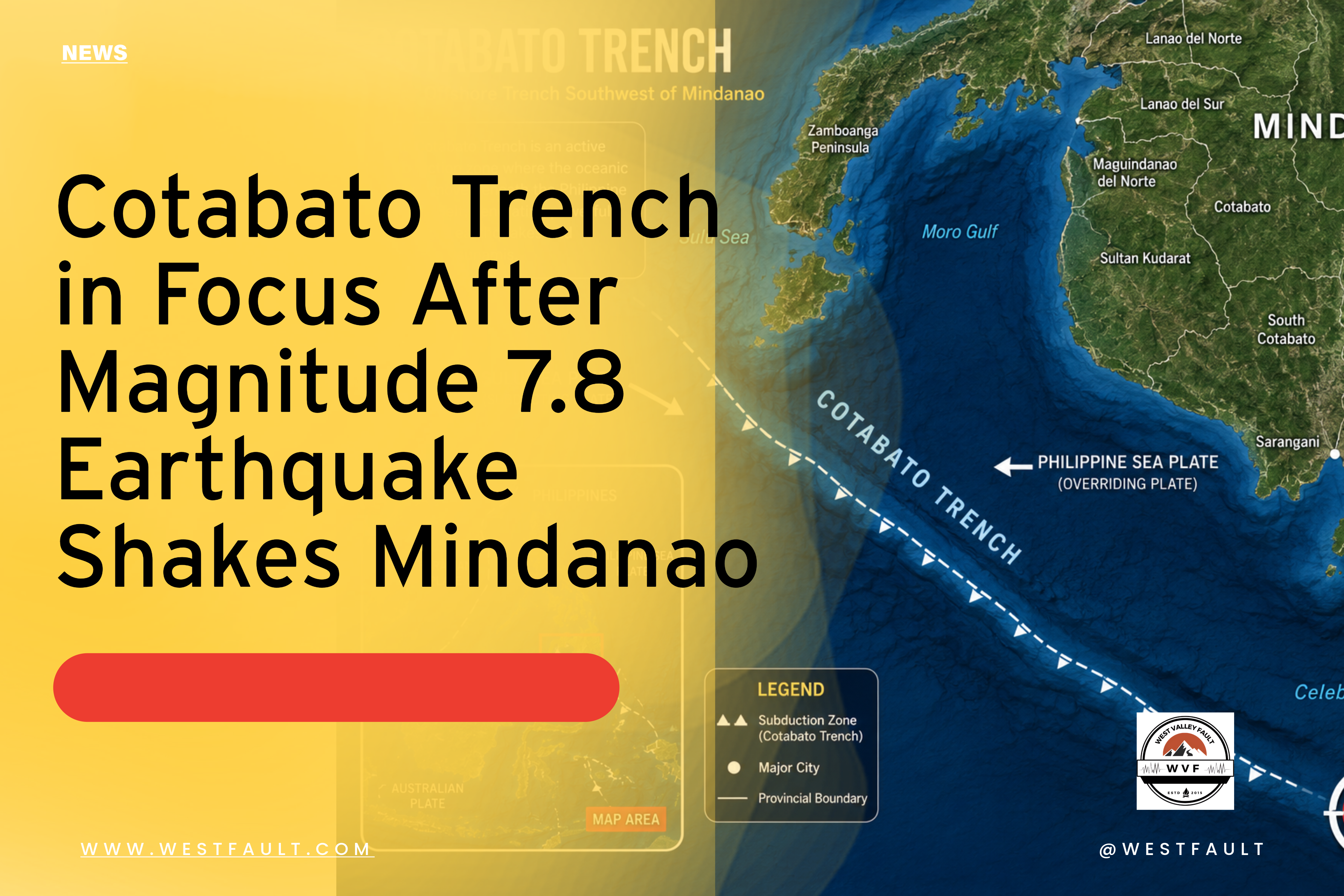
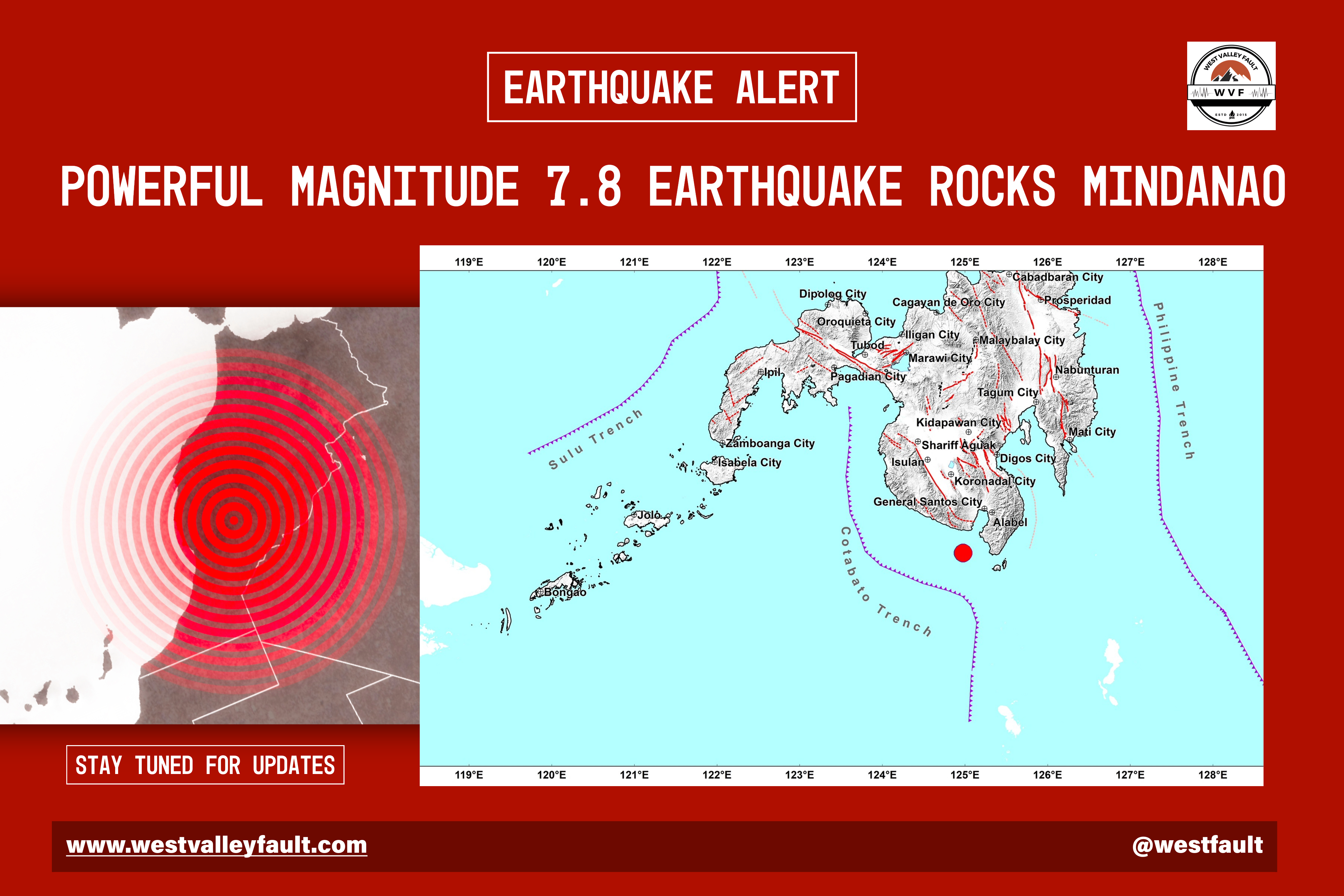
Other significant earthquakes have continued to strike different parts of the country over the years. In 2013, a magnitude 7.2 earthquake hit Bohol, destroying centuries-old churches, damaging roads and bridges, and causing deadly landslides across Central Visayas. The disaster demonstrated how even regions not commonly associated with major seismic activity remain vulnerable to sudden and destructive earthquakes.

Mindanao has also experienced repeated seismic events, including the series of strong earthquakes that struck Cotabato in 2019. Homes, schools, and commercial buildings suffered severe damage as residents endured continuous aftershocks that lasted for weeks. The psychological toll of these disasters highlighted how earthquakes affect not only infrastructure, but also the long-term well-being of affected communities.
From Luzon to Mindanao, the history of earthquakes in the Philippines reveals a recurring pattern of destruction, recovery, and rebuilding. Each disaster leaves behind lessons that underscore the importance of preparedness, resilient infrastructure, and public awareness. As scientists continue to monitor active fault systems such as the West Valley Fault, the experiences of past earthquakes remain crucial in helping the nation prepare for the possibility of the next major seismic event.
What Experts Say About the Big One
Experts, particularly from the Philippine Institute of Volcanology and Seismology (PHIVOLCS), emphasize several critical points regarding this threat.
Expert Projections and Concerns
- The West Valley Fault: Scientists note that the West Valley Fault has historically moved every 400 to 600 years. With its last significant activity estimated around 1658, experts indicate that the probability of a major event along this fault line increases with each passing year.
- Potential Impact: Based on collaborative studies—including a seminal 2004 assessment by JICA, PHIVOLCS, and the MMDA—a 7.2 magnitude earthquake would be catastrophic for the National Capital Region. Projections suggest tens of thousands of deaths and hundreds of thousands of injuries. Infrastructure damage would likely be widespread, potentially causing “societal collapse” due to the isolation of city districts, the destruction of critical communication and utility services, and the eruption of numerous secondary fires.
- Beyond Metro Manila: PHIVOLCS experts have clarified that “The Big One” is not limited to Manila. Every province or region in the Philippines is vulnerable to its own “Big One” given the country’s location on the Pacific Ring of Fire, where approximately 20 earthquakes are recorded daily on average.

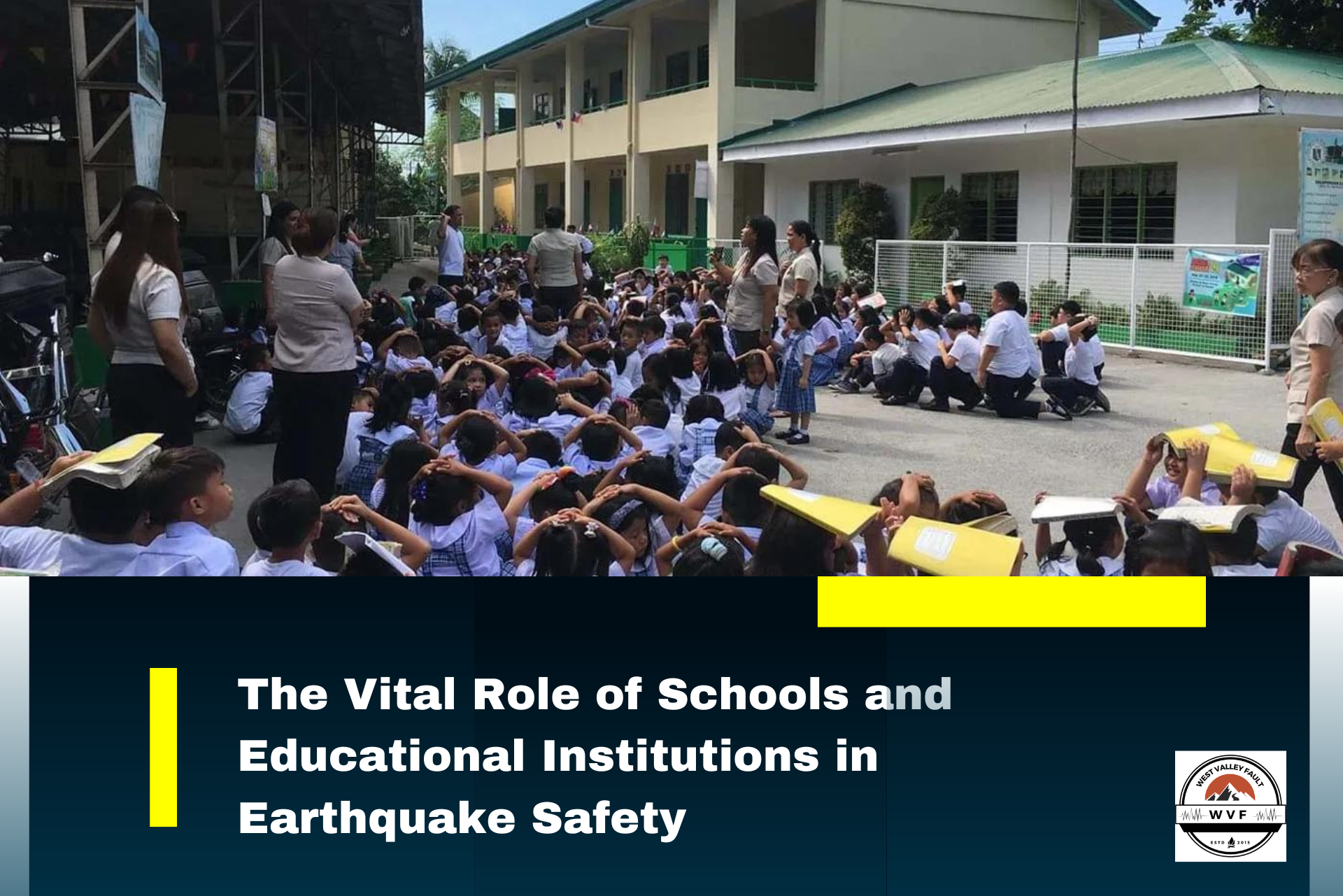
Preparedness and Mitigation
In recent years, the Philippine government and various organizations have been working to raise awareness about earthquake preparedness. Initiatives include public education campaigns, simulations, and drills to ensure that residents know how to respond in the event of a major earthquake. Retrofitting and strengthening critical infrastructure and buildings are also important steps in reducing potential damages.
Challenges in Preparedness
- Infrastructure Resilience: Experts remain concerned about the structural integrity of existing buildings and infrastructure in the Philippines. While there are building codes, there have been calls for extensive structural audits to ensure that high-rises and critical facilities can withstand the intensity of a major tremor.
- Preparedness Culture: Beyond physical infrastructure, experts and analysts point to behavioral challenges. There is a documented need for consistent, long-term disaster preparedness rather than sporadic efforts. Experts advocate for “science-based” planning, where local government units (LGUs) utilize simulation tools like the Rapid Earthquake Damage Assessment System (REDAS) to identify vulnerable areas and create community-specific disaster scenarios.
- The “Unpredictability” Factor: Scientists explicitly state that there is currently no reliable technology capable of predicting the exact time, date, or location of large earthquakes. Consequently, the consensus among experts is that the focus must shift from prediction to preparedness at the national, local, and household levels.

This guide explores the essential items every Filipino household should have, along with practical preparedness strategies that can improve resilience and readiness for “The Big One”.
Frequently Asked Questions About the Big One
What is “The Big One”?
“The Big One” is the term commonly used to describe a possible magnitude 7.2 earthquake that could be generated by the movement of the West Valley Fault. Experts consider it one of the most dangerous earthquake scenarios in the Philippines because the fault passes through densely populated areas in Metro Manila and nearby provinces.
“The Big One” is the term commonly used to describe a possible magnitude 7.2 earthquake that could be generated by the movement of the West Valley Fault. Experts consider it one of the most dangerous earthquake scenarios in the Philippines because the fault passes through densely populated areas in Metro Manila and nearby provinces.
What is the West Valley Fault (WVF)?
The West Valley Fault is a 100-kilometer-long active fault system that runs through Metro Manila and nearby provinces, including Rizal, Laguna, Cavite, and Bulacan. Experts monitor it closely because it is capable of generating a magnitude 7.2 earthquake. It has historically moved every 200 to 400 years, with its last major movement recorded in 1658.
The West Valley Fault is a 100-kilometer-long active fault system that runs through Metro Manila and nearby provinces, including Rizal, Laguna, Cavite, and Bulacan. Experts monitor it closely because it is capable of generating a magnitude 7.2 earthquake. It has historically moved every 200 to 400 years, with its last major movement recorded in 1658.
Can scientists predict exactly when The Big One will happen?
No. Earthquakes cannot currently be predicted with exact accuracy. PHIVOLCS and seismic experts can identify active fault lines and estimate recurrence intervals based on historical activity, but no technology exists that can determine the precise date and time of a major earthquake.
No. Earthquakes cannot currently be predicted with exact accuracy. PHIVOLCS and seismic experts can identify active fault lines and estimate recurrence intervals based on historical activity, but no technology exists that can determine the precise date and time of a major earthquake.
Why is the West Valley Fault considered dangerous?
The West Valley Fault runs through highly urbanized cities where millions of people live and work. A major earthquake originating from this fault could produce extremely strong ground shaking, widespread structural damage, fires, and infrastructure collapse across Metro Manila and surrounding provinces.
The West Valley Fault runs through highly urbanized cities where millions of people live and work. A major earthquake originating from this fault could produce extremely strong ground shaking, widespread structural damage, fires, and infrastructure collapse across Metro Manila and surrounding provinces.
Which cities are directly affected by the West Valley Fault?
The fault traverses several cities including Quezon City, Marikina, Pasig, Makati, Taguig, and Muntinlupa. Portions of Bulacan, Rizal, Cavite, and Laguna are also situated near the fault system.
The fault traverses several cities including Quezon City, Marikina, Pasig, Makati, Taguig, and Muntinlupa. Portions of Bulacan, Rizal, Cavite, and Laguna are also situated near the fault system.
How strong could The Big One be?
Experts estimate that the West Valley Fault is capable of generating a magnitude 7.2 earthquake. Ground shaking in some areas of Metro Manila could reach Intensity VIII, which is considered very destructive and capable of severely damaging buildings and infrastructure.
Experts estimate that the West Valley Fault is capable of generating a magnitude 7.2 earthquake. Ground shaking in some areas of Metro Manila could reach Intensity VIII, which is considered very destructive and capable of severely damaging buildings and infrastructure.
How long could the shaking last?
Strong ground shaking may last for several tens of seconds depending on the location and soil conditions. While this may sound brief, even a few seconds of violent shaking can cause major destruction in densely populated urban areas.
Strong ground shaking may last for several tens of seconds depending on the location and soil conditions. While this may sound brief, even a few seconds of violent shaking can cause major destruction in densely populated urban areas.
What is ground rupture?
Ground rupture occurs when the earth’s surface physically breaks apart along the fault line during an earthquake. Structures built directly on top of the fault may suffer severe damage regardless of how strong or modern the buildings are.
Ground rupture occurs when the earth’s surface physically breaks apart along the fault line during an earthquake. Structures built directly on top of the fault may suffer severe damage regardless of how strong or modern the buildings are.
What is liquefaction?
Liquefaction happens when water-saturated soil temporarily loses strength during intense shaking and behaves like liquid. This can cause roads to crack, buildings to tilt, and foundations to sink. Low-lying and reclaimed areas are often more vulnerable to this phenomenon.
Liquefaction happens when water-saturated soil temporarily loses strength during intense shaking and behaves like liquid. This can cause roads to crack, buildings to tilt, and foundations to sink. Low-lying and reclaimed areas are often more vulnerable to this phenomenon.
Will Metro Manila experience a tsunami during The Big One?
A West Valley Fault earthquake itself is not expected to generate a large tsunami because it is a land-based fault system. However, coastal areas may still experience secondary hazards depending on offshore seismic activity associated with other fault systems.
A West Valley Fault earthquake itself is not expected to generate a large tsunami because it is a land-based fault system. However, coastal areas may still experience secondary hazards depending on offshore seismic activity associated with other fault systems.
How many people could be affected?
Millions of residents across Metro Manila and nearby provinces could be impacted by a major earthquake. Scenario studies by disaster agencies project significant casualties, injuries, displacement, and infrastructure damage if preparedness measures are insufficient.
Millions of residents across Metro Manila and nearby provinces could be impacted by a major earthquake. Scenario studies by disaster agencies project significant casualties, injuries, displacement, and infrastructure damage if preparedness measures are insufficient.
What should families prepare before an earthquake?
Experts recommend preparing emergency go-bags containing food, water, medicines, flashlights, batteries, important documents, radios, and first aid supplies. Families should also identify evacuation areas and establish communication plans in case mobile networks fail.
Experts recommend preparing emergency go-bags containing food, water, medicines, flashlights, batteries, important documents, radios, and first aid supplies. Families should also identify evacuation areas and establish communication plans in case mobile networks fail.
What should you do during an earthquake?
The standard safety advice is: Drop, Cover, and Hold On. Stay away from windows, shelves, and heavy objects that may fall. If outdoors, move to an open area away from buildings, power lines, and trees.
The standard safety advice is: Drop, Cover, and Hold On. Stay away from windows, shelves, and heavy objects that may fall. If outdoors, move to an open area away from buildings, power lines, and trees.
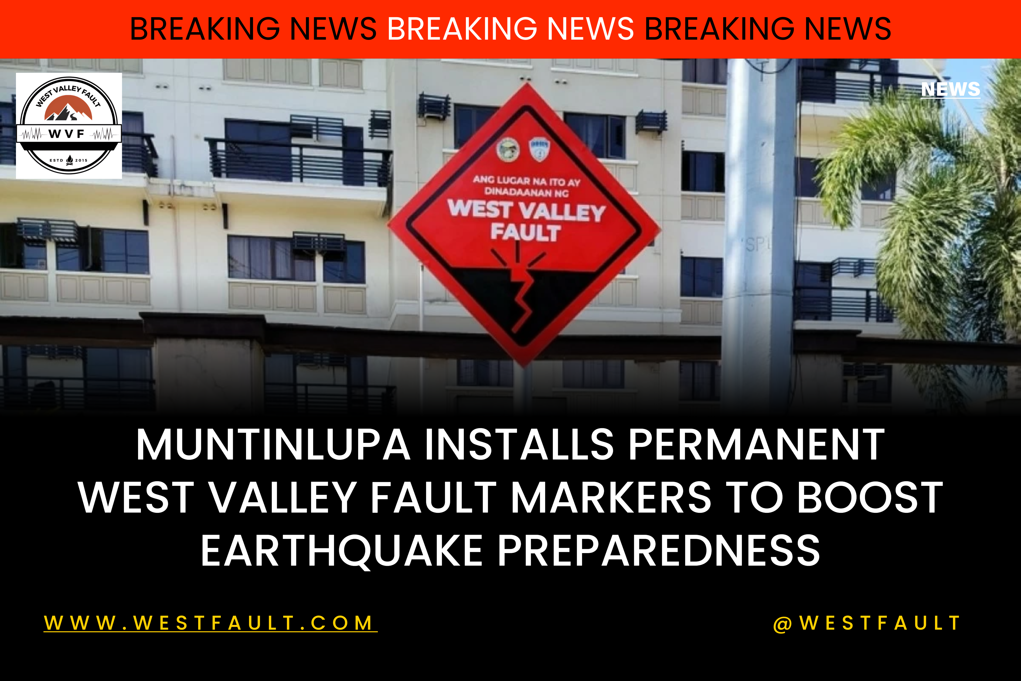
Is there a way to know if a property sits near the fault line?
Yes. You can check on our listings here:
List of Subdivisions
List of Barangays
Buyers and homeowners are encouraged to check these maps before purchasing or developing land.
Yes. You can check on our listings here:
List of Subdivisions
List of Barangays
Buyers and homeowners are encouraged to check these maps before purchasing or developing land.
Can earthquake-resistant buildings survive The Big One?
Buildings designed according to modern earthquake-resistant standards generally have a better chance of withstanding strong shaking. However, structures built directly atop the fault line remain vulnerable to ground rupture regardless of engineering improvements.
Buildings designed according to modern earthquake-resistant standards generally have a better chance of withstanding strong shaking. However, structures built directly atop the fault line remain vulnerable to ground rupture regardless of engineering improvements.
Why is earthquake preparedness so important?
Preparedness can significantly reduce casualties and confusion during disasters. Earthquake drills, structural strengthening, emergency planning, and public awareness all improve the chances of survival and faster recovery after a major seismic event.
Preparedness can significantly reduce casualties and confusion during disasters. Earthquake drills, structural strengthening, emergency planning, and public awareness all improve the chances of survival and faster recovery after a major seismic event.

Conclusion
The looming threat of The Big One underscores the necessity for continuous efforts to enhance earthquake preparedness, public awareness, and infrastructure resilience. The scientific understanding of the tectonic forces at play, combined with proactive measures, can help mitigate the potential devastation and safeguard the lives of millions of people in the Philippines. As the nation strives to build a safer future, collaboration between government, communities, and experts remains crucial in the face of this seismic challenge.
Source:
The Big One: Facts About the “Deadly” 7.2 Magnitude Earthquake
Megathrust earthquake – Wikipedia
Phivolcs
Earthquakes’ Impacts on Society
The Social and Economic Consequences of Earthquakes
Historical Earthquakes in the Philippines
“The Big One” Earthquake Preparedness Assessment among Younger Filipinos Using a Random Forest Classifier and an Artificial Neural Network.


Leave a Reply