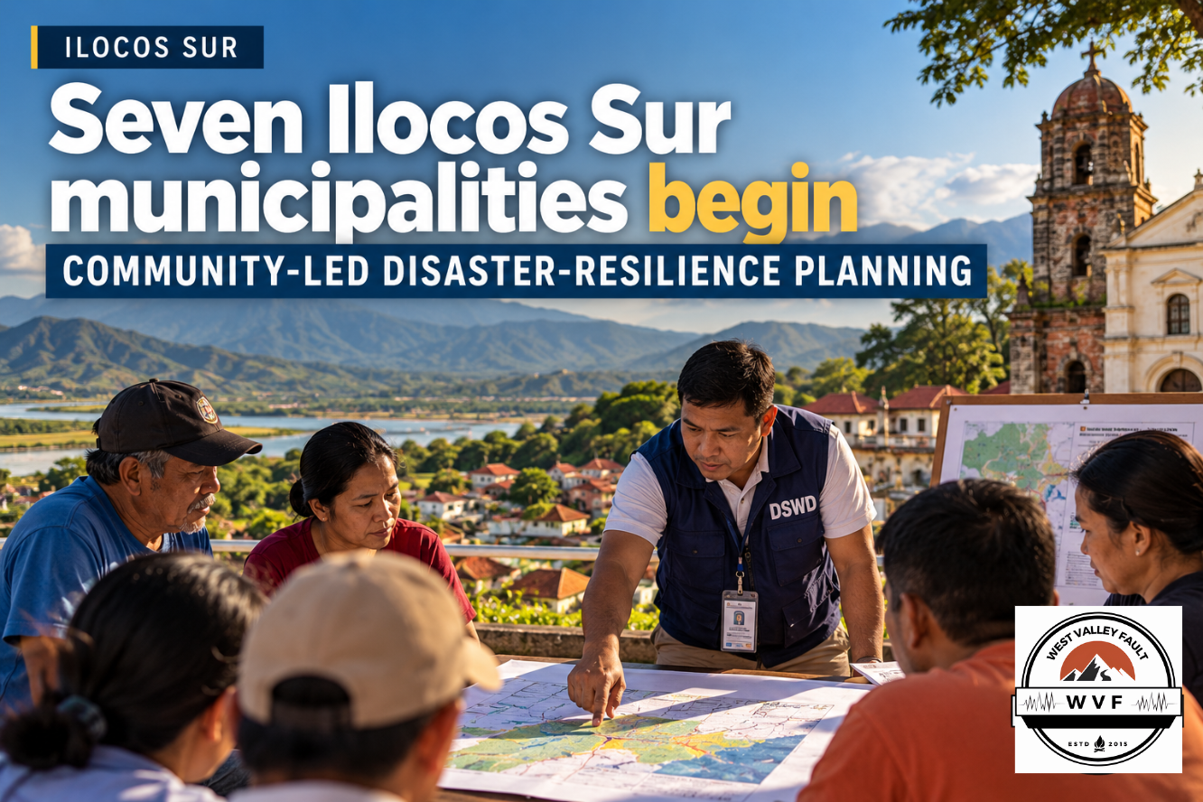
ILOCOS SUR — Seven municipalities in Ilocos Sur have begun a community-led disaster-resilience planning process under the Panahon ng Pagkilos: Philippine Community Resilience Project, with residents expected to take part in vulnerability assessments, planning, implementation and monitoring.
DSWD Field Office I and the Ilocos Sur provincial government formalized the initiative on September 29, 2026. The Philippine Information Agency reported on October 5 that San Emilio, Suyo, Sugpon, Salcedo, Santa Cruz, Sigay and Quirino were selected as pilot municipalities.
The project is expected to cover an estimated 20,666 households across the seven municipalities. For households translating community planning into practical preparedness, WVF’s Emergency Preparedness Essentials brings together guidance on emergency supplies, communication, backup power, first aid and other household readiness measures.
Communities move from beneficiaries to decision-makers
The project is structured around community participation rather than a top-down selection of interventions. Residents are expected to help identify local vulnerabilities, define resilience priorities, participate in implementation and monitor the resulting activities.
That approach gives communities a formal role in deciding which risks and preparedness gaps deserve attention, rather than limiting them to receiving projects designed elsewhere.

Seven pilot municipalities
- San Emilio
- Suyo
- Sugpon
- Salcedo
- Santa Cruz
- Sigay
- Quirino
The pilot covers municipalities with differing terrain, settlement patterns and access conditions. That makes local vulnerability assessment important because exposure and evacuation constraints can vary significantly even within the same province.
WVF has previously tracked how local hazard information can shape planning in the region, including Ilocos coastal-erosion data being used to guide safer land use and infrastructure placement.
Why it matters for earthquake preparedness
The Panahon ng Pagkilos project is multi-hazard, not an earthquake-specific program. But the local planning mechanisms it establishes can incorporate seismic hazards alongside other risks.
Community vulnerability assessments can help identify households, roads, public facilities and settlements that may face access or evacuation problems after damaging shaking. Local resilience plans can also consider evacuation routes, safe gathering areas, vulnerable structures and community-prioritized safety infrastructure. WVF’s guide What Hazards Surround Your Child’s School? shows how official hazard information can be used to ask more practical questions about evacuation, building assessment and emergency access at the community level.
That local planning layer complements wider government systems for anticipatory action and evacuation. WVF recently reported on the NDRRMC rules for pre-disaster evacuation, infrastructure protection and anticipatory funding, while Baguio’s 2027 disaster plan provides another example of local government planning that combines hazard mapping, infrastructure concerns and preparedness spending.
Community planning can expose practical access constraints
One advantage of community-led planning is that residents can surface problems that may be less visible in provincial or national plans — such as narrow access roads, isolated sitios, difficult evacuation routes, households with limited mobility or facilities that communities themselves consider critical during emergencies.
Those details matter in earthquake preparedness because response capacity can be constrained by damaged roads, blocked access and disrupted communications even when formal emergency plans exist. At the household level, WVF’s 10 Ways to Make Your Home Safer Before an Earthquake in the Philippines provides practical measures residents can take while larger community resilience plans are being developed.
The broader policy question is whether locally identified priorities eventually translate into funded, implemented and maintained resilience measures. WVF has examined that implementation challenge in its coverage of the Philippines’ push toward disaster-ready infrastructure after the ASEAN Disaster Resilience Conference.
Plans and interventions are still being prepared
The Ilocos Sur initiative is still in its planning and early implementation stage. The PIA report does not identify dedicated earthquake projects, municipal budgets for specific interventions or completed resilience infrastructure under the program.
For now, the development is significant because it establishes a community-led process for identifying vulnerabilities and setting resilience priorities. Any earthquake-specific projects should be assessed only once municipal plans and proposed interventions are publicly defined.
Stay Informed. Stay Prepared.
Get continuing earthquake intelligence, preparedness updates, Special Reports, and the WestValleyFault.com Weekly Earthquake & Preparedness Intelligence Report delivered to your inbox.

As a welcome gift, you’ll also receive the FREE WVF Earthquake Preparedness Quick Start Guide with practical first steps every household can take before a major earthquake.
Enter your email below to join the WVF email list. Unsubscribe anytime.
Recommended Further Reading
- Ilocos Coastal-Erosion Data Could Guide Safer Land Use and Infrastructure Placement
- NDRRMC Activates Rules for Pre-Disaster Evacuation, Infrastructure Protection and Anticipatory Funding
- Baguio Approves ₱213.7-M 2027 Disaster Plan with Geohazard Mapping and Structural Repairs
- After ASEAN Disaster Resilience Conference, Philippines Faces Test of Strengthening Disaster-Ready Infrastructure




Leave a Reply