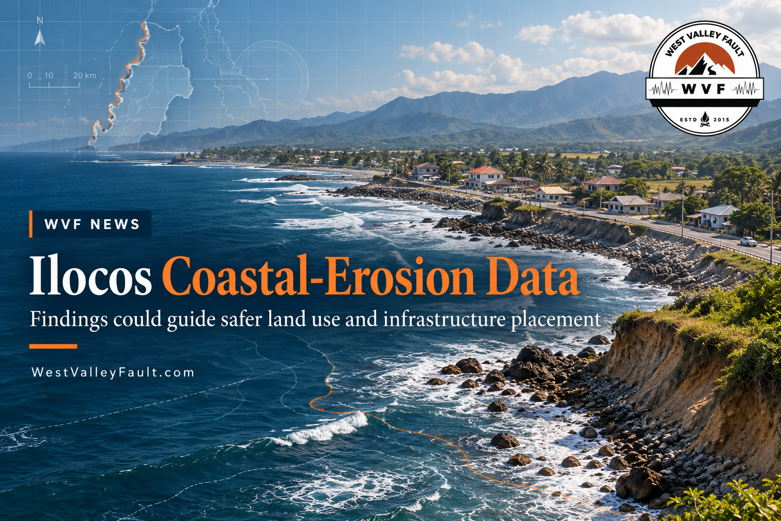
SAN FERNANDO CITY, LA UNION — Researchers are urging local governments in the Ilocos Region to use long-term coastal-erosion data when deciding where settlements, roads and other infrastructure should be located, after decades of shoreline monitoring found measurable erosion across assessed areas in all four Region 1 provinces.
The findings were presented during the Region 1 Coastal Resilience and Biodiversity Protection Forum on September 22 and reported by the Philippine Information Agency on September 29.
Dr. Fernando Siringan of the University of the Philippines Marine Science Institute said his team’s coastal-erosion research has spanned nearly three decades, beginning in La Union and later expanding across the Ilocos Region with support from the Department of Science and Technology-Philippine Council for Industry, Energy, and Emerging Technology Research and Development, Mariano Marcos State University and Don Mariano Marcos Memorial State University.
Shoreline data show erosion across assessed areas
Using Landsat satellite and map data covering 1977 to 2022, the study found erosion in 11.1 percent of assessed shoreline areas in Pangasinan, 22.4 percent in La Union, 22.2 percent in Ilocos Sur and 17.7 percent in Ilocos Norte.
Siringan identified the coastal stretch from Bauang to Santo Tomas and Agoo in La Union as a highly eroding area, while noting that both the extent and causes of erosion vary by location.
Among the factors cited were changes in river positions, quarrying along beaches and river channels, constriction of river channels through engineering projects, interruption of sediment supply, sea-level rise, land subsidence and typhoons.

Researchers want the data reflected in development decisions
Siringan said shoreline-change information should be translated into land-use and development decisions, particularly in areas where the coastline is changing rapidly.
The PIA report said integrating the findings into planning could help local governments consider coastal hazards when deciding where to locate settlements, roads, tourism facilities and other investments.
The forum also emphasized the value of combining technical observations with information from coastal communities, whose long-term experience can add local evidence on beach changes, river movement, flooding and other shoreline conditions.
Department of Economy, Planning, and Development Ilocos Regional Director Stephanie Christiansen said the forum supports the Regional Development Plan’s climate-action and disaster-resilience objectives, including stronger adaptive capacity, disaster-resilient infrastructure and improved environmental governance.
Why it matters for earthquake preparedness
The forum focused on coastal erosion and climate-related development risk, not on an earthquake program. Its relevance to WVF is the planning approach: using mapped hazard and ground-condition data before deciding where infrastructure and settlements should go.
That same approach also appears in earthquake-risk work, where mapped landslide, liquefaction and other ground-failure hazards can affect infrastructure siting and resilience decisions. WVF has recently tracked similar data-driven planning in Baguio’s new geohazard-mapping investment and in PHIVOLCS and Caraga State University’s earthquake-landslide modeling work in Agusan del Norte.
Recommendation remains at the science-and-policy stage
The September 22 forum produced a recommendation to use coastal-erosion evidence more directly in planning decisions. The PIA report does not identify a newly enacted zoning regulation, a mandatory setback rule, or a funded regional implementation program arising from the discussion.
For now, the development is a science-and-policy proposal built around the region’s accumulated shoreline data and its potential use in future land-use and infrastructure decisions.
Stay Informed. Stay Prepared.
Get continuing earthquake intelligence, preparedness updates, Special Reports, and the WestValleyFault.com Weekly Earthquake & Preparedness Intelligence Report delivered to your inbox.
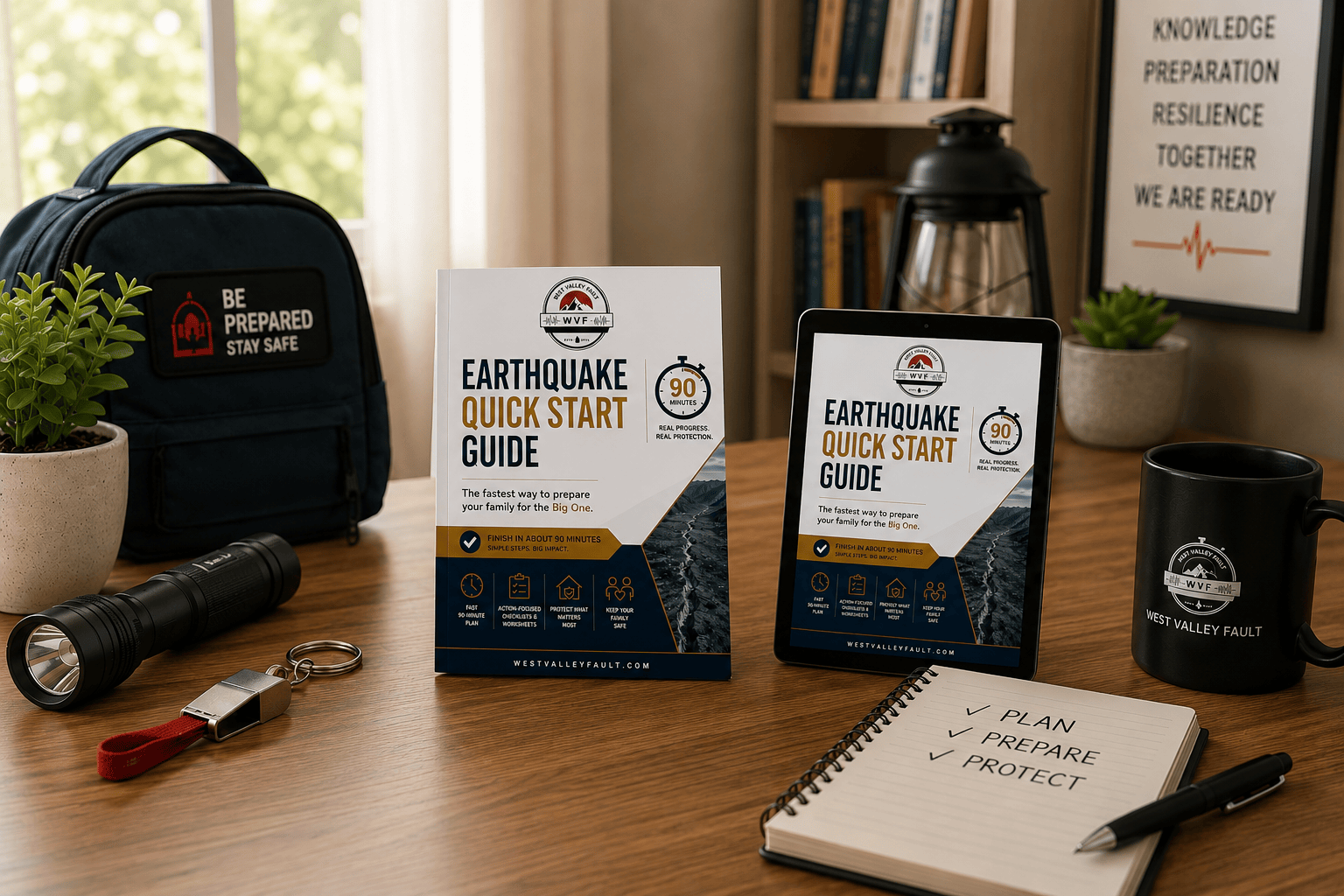
As a welcome gift, you’ll also receive the FREE WVF Earthquake Preparedness Quick Start Guide with practical first steps every household can take before a major earthquake.
Enter your email below to join the WVF email list. Unsubscribe anytime.
Recommended Further Reading
- Baguio Approves ₱213.7-M 2027 Disaster Plan with Geohazard Mapping and Structural Repairs
- PHIVOLCS, Caraga State University Gather Agusan del Norte Data for Earthquake-Landslide Model
- DOST Trains Abra LGUs to Use GeoRiskPH Tools for Better Disaster Risk Planning




Leave a Reply