
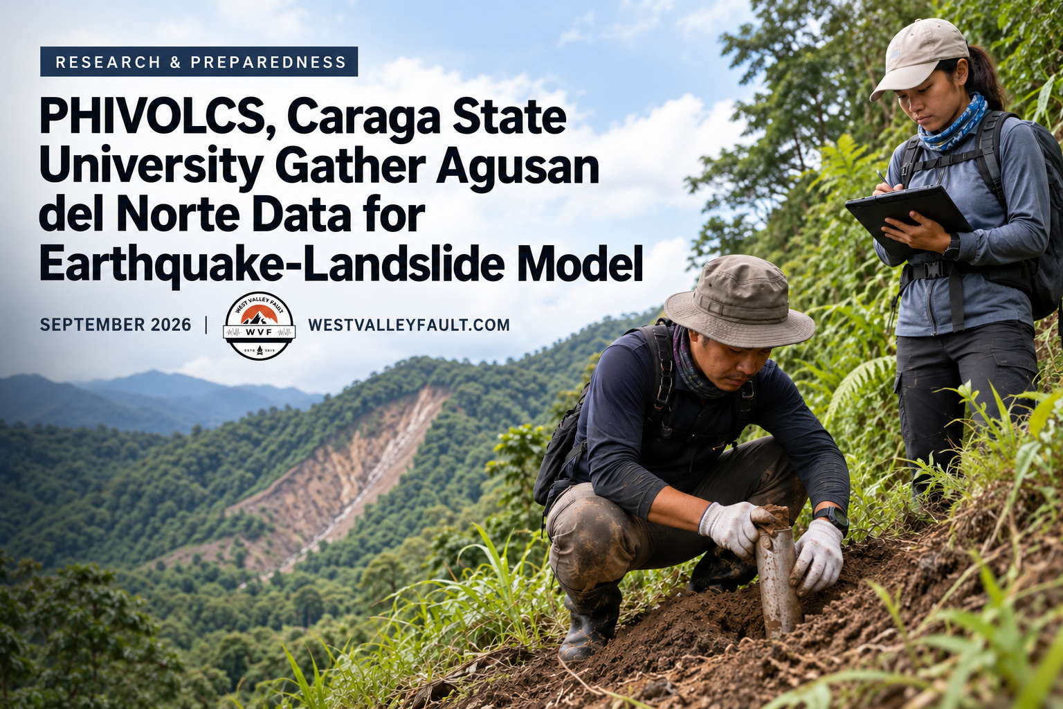
DOST-PHIVOLCS and Caraga State University are conducting field investigations in Agusan del Norte to collect soil and ground data for improved earthquake-induced landslide modelling and warning.
PHIVOLCS announced the activity on September 11, 2026. It forms part of the second year of a research initiative called the Machine Learning of Physics-Based Earthquake-Induced Landslide Parameters for Efficient Prediction and Warning in the Philippines, or ML-PREP.

The fieldwork focuses on gathering local data needed to understand how soil and slope conditions may influence landslides triggered by strong ground shaking. These measurements are expected to support the development of more accurate landslide-prediction models.
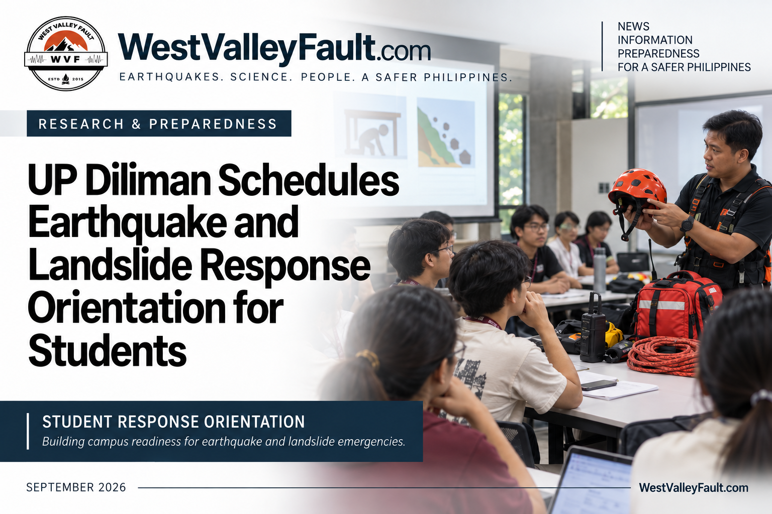
The activity is significant because earthquake danger does not end with ground shaking. In mountainous and steeply sloping communities, strong shaking can destabilize the ground, block roads, isolate settlements and threaten homes and critical infrastructure.
More detailed local models could eventually help government agencies and local governments improve hazard assessments, land-use planning, evacuation strategies and public-warning systems.
The project remains in its data-collection and model-development stage. PHIVOLCS has not yet announced a completed warning system or released a resulting updated public hazard map.
Sources: DOST-PHIVOLCS official announcement and Mindanao Times report.
Stay Prepared with WVF
For continuing earthquake and disaster preparedness news content, join the WestValleyFault.com email list.

As a welcome gift, you’ll also receive our FREE Earthquake Quick Start Guide.
- ✔ Weekly Earthquake Intelligence Report
- ✔ Exclusive Special Reports
- ✔ Practical preparedness tips
- ✔ FREE Earthquake Quick Start Guide
Recommended Reading
- Earthquake hazard maps and preparedness resources
- What Is Operation L!STO?
- What Hazards Surround Your Child’s School?
- The Big One Is Not the Biggest Threat—Our Buildings Are
















Leave a Reply