
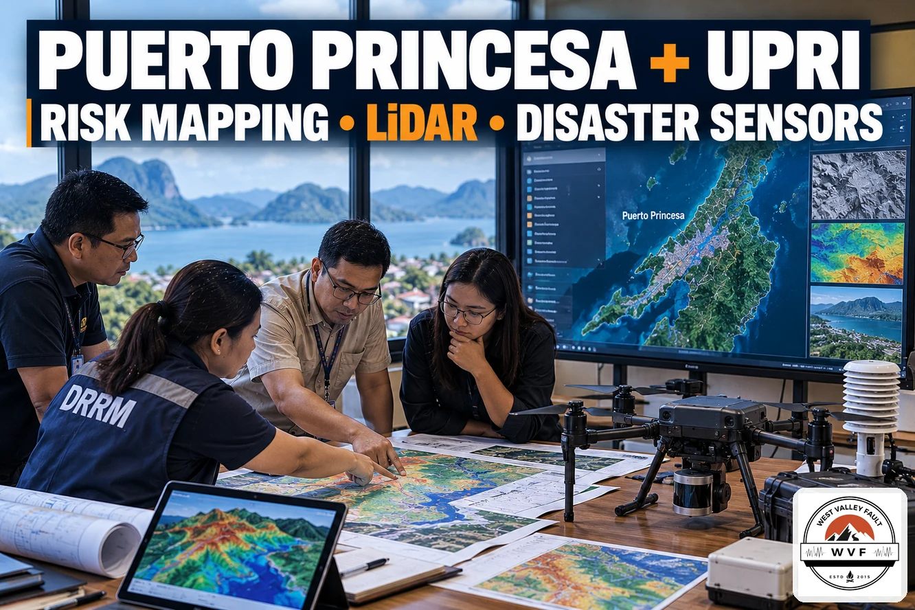
PUERTO PRINCESA CITY — The City Government of Puerto Princesa and the University of the Philippines Resilience Institute are exploring a disaster-risk reduction and management partnership that could expand local risk mapping, flood-resilience research and hazard-monitoring capabilities.
A UPRI delegation met Mayor Lucilo Bayron on September 29, 2026. The city government published details on October 1, while the Philippine Information Agency issued a follow-up report on October 8.
The proposed collaboration is intended to strengthen coordination among DRRM stakeholders and expand the capacity of state universities and colleges to conduct research that can support local governance, development planning and risk-reduction decisions.
The approach is consistent with a wider shift toward locally usable hazard data; WVF previously reported on Benguet’s province-wide adoption of GeoRiskPH tools for local planning and disaster preparedness.
Risk mapping and LiDAR-equipped drones are part of the proposal
According to the city government, the initiative includes flood-resilience and risk-mapping components as well as a plan to distribute LiDAR-equipped drones to participating state universities and colleges.
The drones could be used to collect high-resolution topographic data for flood modeling, land-use planning and other risk-informed decisions. High-resolution terrain data can also support broader geohazard assessment when combined with hazard-specific analysis and field validation.
Puerto Princesa and UPRI also discussed the possible deployment of disaster and meteorological sensor networks to improve local and national monitoring capabilities and support DRRM research by academic institutions.
The proposed work also parallels other local investments in monitoring and warning capability, including Caloocan’s proposed expansion of a citywide early-warning system.

The partnership would also study additional water sources
Mayor Bayron also raised concerns about water availability and the effects of severe drought. PIA reported that the city is considering research with UPRI and the academic sector to identify alternative or additional groundwater sources.
That component is separate from earthquake preparedness, but it illustrates the multi-hazard scope of the proposed partnership: the city is looking at flood resilience, drought, risk mapping and monitoring systems rather than a single hazard.
Why this matters for earthquake and geohazard preparedness
For earthquake preparedness, better terrain data, locally maintained risk maps and sensor networks can strengthen the information base used for evacuation planning, emergency monitoring and broader geohazard assessment. They do not replace earthquake-specific fault, ground-shaking or structural studies, but they can improve the local data systems on which those decisions depend.
This is particularly relevant in Palawan, where WVF has previously examined why the province should not be treated as earthquake-free. See Special Report: Palawan Was Never Earthquake-Free—We Just Didn’t Know the Whole Story and Palawan Earthquakes: Rethinking Seismic Stability and Disaster Preparedness.
This remains a proposed collaboration
The September 29 meeting did not announce a signed partnership agreement, committed funding, equipment deployment schedule or implementation timetable.
Neither the city government report nor the PIA follow-up identified a specific earthquake-focused deliverable. Any future agreement, funding commitment, LiDAR-drone deployment, sensor installation or earthquake-specific project should therefore be treated as a separate development requiring its own verification.
Stay Informed. Stay Prepared.
Get continuing earthquake intelligence, preparedness updates, Special Reports, and the WestValleyFault.com Weekly Earthquake & Preparedness Intelligence Report delivered to your inbox.

As a welcome gift, you’ll also receive the FREE WVF Earthquake Preparedness Quick Start Guide with practical first steps every household can take before a major earthquake.
Enter your email below to join the WVF email list. Unsubscribe anytime.
Recommended Further Reading
- Benguet Becomes First Philippine Province to Fully Adopt GeoRiskPH Across All Municipalities
- Caloocan Seeks ₱20-M Expansion of Citywide Early-Warning System
- Special Report: Palawan Was Never Earthquake-Free—We Just Didn’t Know the Whole Story
- Palawan Earthquakes: Rethinking Seismic Stability and Disaster Preparedness
Sources
- Puerto Princesa City Government — Proposed DRRM partnership with UP Resilience Institute
- Philippine Information Agency — Puerto Princesa gov’t, UPRI collaborate to strengthen DRRM




Leave a Reply