
Week of August 29 – Sept 4, 2026
Focus: Earthquake Activity & Public Preparedness
Issue #011
Executive Summary
This week’s disaster-preparedness developments highlighted a recurring challenge across the Philippines: preparedness systems are only effective when plans are current, people can be accounted for during emergencies, and hazard information is translated into actions that communities can carry out.
In the Cordillera, the Department of the Interior and Local Government urged LGUs to strengthen their use of Operation LISTO after monitoring showed that nearly 70% of assessed local governments had outdated or incomplete Local Disaster Risk Reduction and Management Plans. The response includes renewed attention to updated contingency planning, functional early-warning systems, evacuation procedures, pre-positioned supplies and rescue equipment, and regular simulations. The Office of Civil Defense is also conducting training on the enhanced LDRRMP to help local governments improve their plans.
At the school level, students from the Philippine Science High School–Caraga Region Campus developed Ligtas Skwela, a digital emergency-management platform designed to help teachers and emergency commanders account for individual students during earthquakes, fires, and other campus emergencies. The system can track classroom status, students needing medical assistance, and event logs. It remains under development and has so far been tested only on the PSHS-Caraga campus, but it illustrates how digital tools could strengthen school-level emergency accountability.
In Mindanao, the Bangsamoro government and PHIVOLCS renewed calls for stronger earthquake and tsunami preparedness as communities marked 50 years since the 1976 Moro Gulf earthquake and tsunami. The emphasis remained on science-based planning, clearly identified evacuation routes and safe areas, recognition of natural tsunami warning signs, resilient infrastructure, and stronger coordination between authorities and communities.
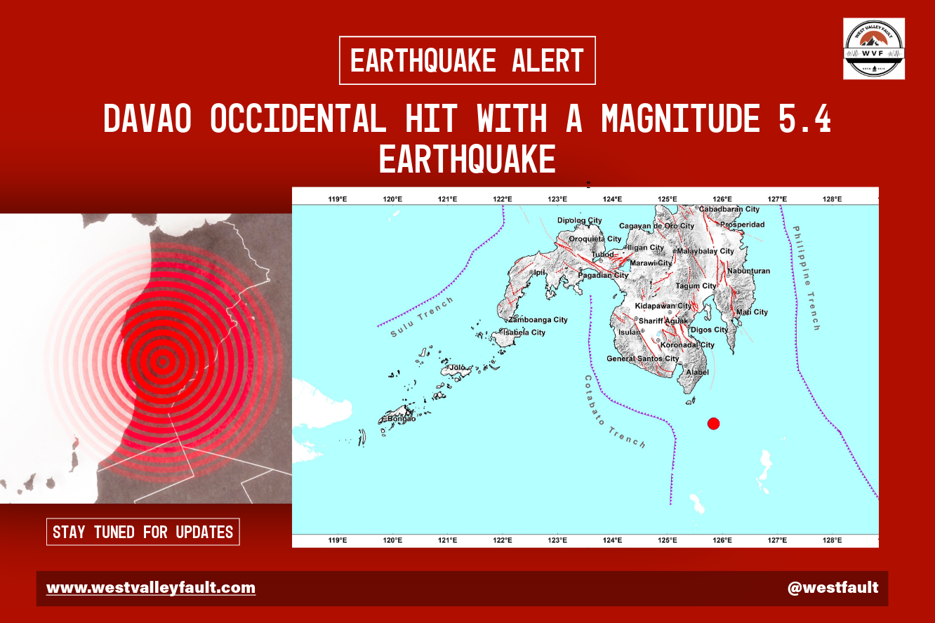
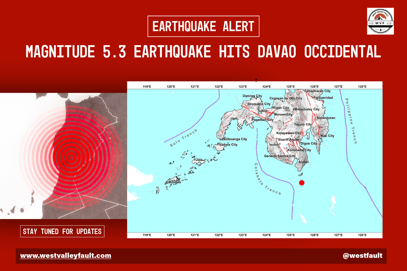
The supplied PHIVOLCS monitor recorded one earthquake of Magnitude 5.0 or greater during the August 29–September 4 reporting period: an M5.4 earthquake south-southeast of Balut Island, Davao Occidental, at a depth of 113 kilometers. The monitor does not establish that the event was part of a swarm, sequence, or developing larger earthquake event.
Before you read further — do you know your property’s actual risk?

Download the free Home Buyer’s Earthquake Risk Guide to check your specific location against active faults, liquefaction zones, and building safety factors. It takes five minutes and doesn’t require a subscription.
Small disclaimer: This checklist is an educational screening tool—not an official hazard assessment or guarantee of safety.

Subscribe to continue reading
Subscribe to get access to the rest of this post and other subscriber-only content.